Apple could use machine learning to improve Apple Maps GPS data

iMore offers spot-on advice and guidance from our team of experts, with decades of Apple device experience to lean on. Learn more with iMore!
You are now subscribed
Your newsletter sign-up was successful
What you need to know
- A new patent suggests ML could be used to help Apple Maps.
- The ML data could be used to augment GPS data.
- A new patent detailing everything was published yesterday.
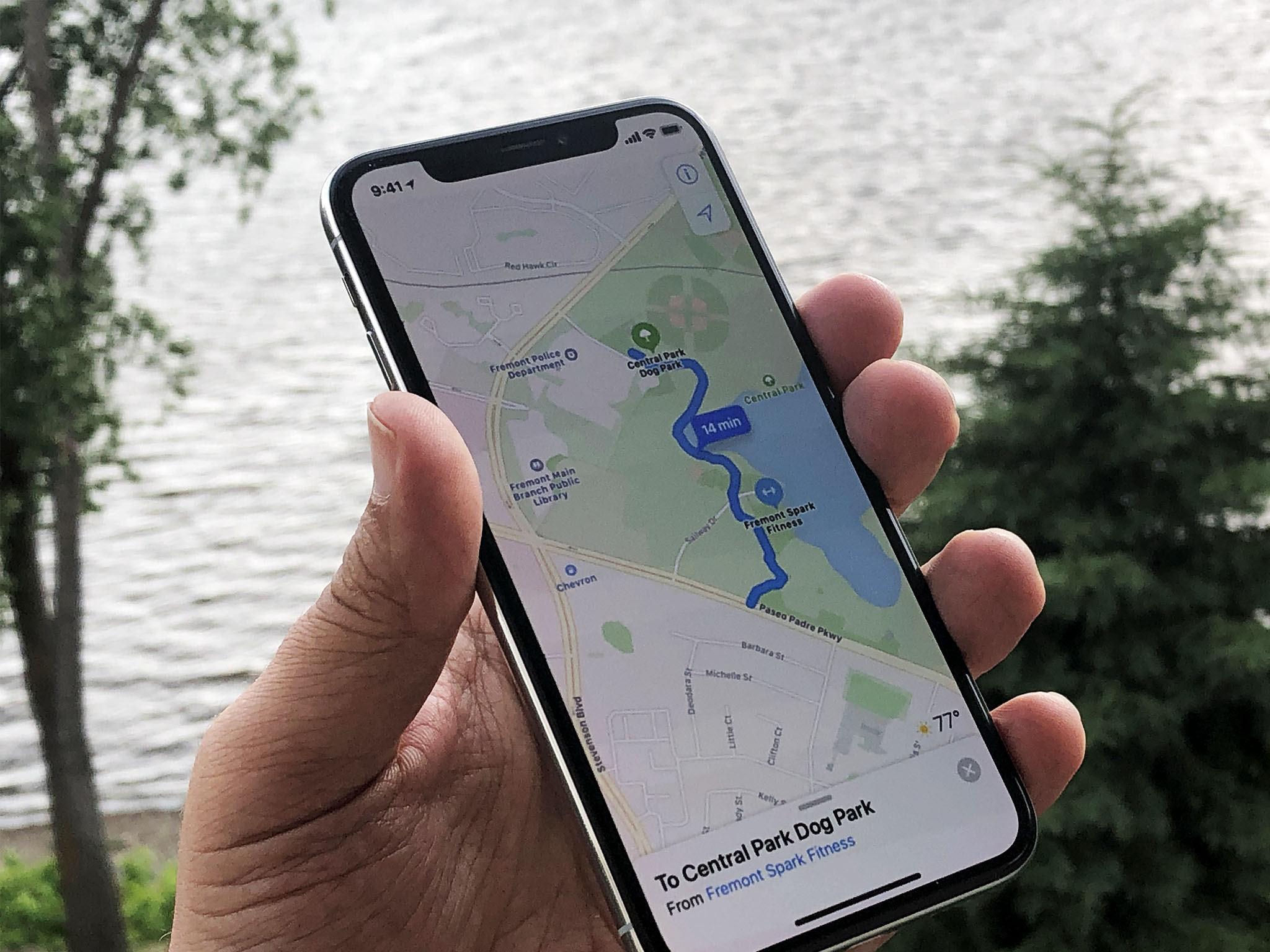
A new Apple patent application suggests that the company is working on technology that would allow machine learning to augment existing GPS location mapping.
The patent application, spotted by Apple Insider, is titled "Machine learning-assisted satellite-based positioning" and appears to use machine learning as a comparison source for GPS location data.
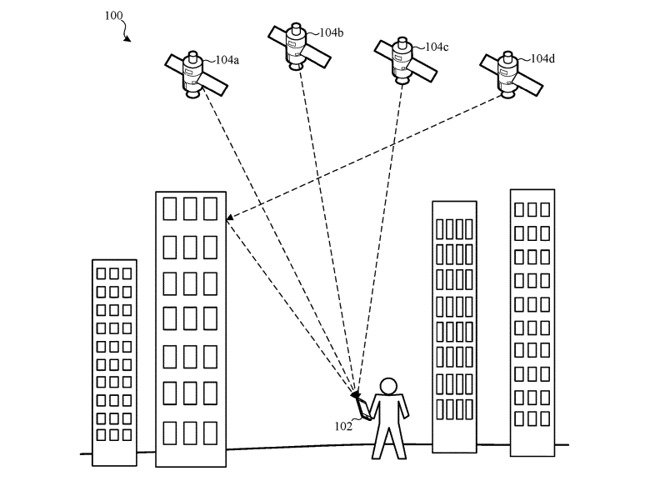
The gist seems to be that machine learning would generate a model based on a device's estimated location. That data can then be compared with GPS location data to allow Apple Maps to take into consideration things like weak GPS signal when placing a user's location on a map in the future.

The subject system implements a machine learning model (e.g., or machine learning method(s)) to assist with GNSS positioning, e.g. in order to compensate for the incomplete and/or distorted GNSS signal information in these challenging signal environments. The subject system generates a machine learning model, for example, by comparing GNSS position estimates (e.g., or estimated measurement errors) as provided by a GNSS positioning system with corresponding reference position estimates as provided by a reference positioning system (e.g., where the reference positions correspond to ground truth data). In one or more implementations, the ground truth data may be better (e.g., significantly better) than what a mobile device alone can perform in most non-aided mode(s) of operation. For example, a mobile phone in a car may be significantly better aided than a pedestrian device, because the motion model for a vehicle is more constrained, and has aiding data in the form of maps and sensor inputs.The machine learning model is trained based on comparisons between the GNSS position estimates and reference positioning system estimates at respective times, together with parameter(s) indicating a position of the device relative to one or more GNSS satellites of the GNSS positioning system at the respective times that the measurements were captured.
As ever, it's important to remember that Apple throws many patents at the wall and few of them turn into products or services that ever find their way into the hands of users. Apple is known to be working to improve Apple Maps and it's done that in a big way recently. It stands to reason that more accurate location data is also something it's working towards.
iMore offers spot-on advice and guidance from our team of experts, with decades of Apple device experience to lean on. Learn more with iMore!

Oliver Haslam has written about Apple and the wider technology business for more than a decade with bylines on How-To Geek, PC Mag, iDownloadBlog, and many more. He has also been published in print for Macworld, including cover stories. At iMore, Oliver is involved in daily news coverage and, not being short of opinions, has been known to 'explain' those thoughts in more detail, too.
Having grown up using PCs and spending far too much money on graphics card and flashy RAM, Oliver switched to the Mac with a G5 iMac and hasn't looked back. Since then he's seen the growth of the smartphone world, backed by iPhone, and new product categories come and go. Current expertise includes iOS, macOS, streaming services, and pretty much anything that has a battery or plugs into a wall. Oliver also covers mobile gaming for iMore, with Apple Arcade a particular focus. He's been gaming since the Atari 2600 days and still struggles to comprehend the fact he can play console quality titles on his pocket computer.
