With iOS 6, the Google-powered Maps app is gone and in its place is an all-new, all-Apple Maps app, with data supplied by TomTom and others. While Google-specific features like Street View are gone, new Apple-specific ones like Flyover will now be available. Based on 3D techniques Apple acquired when they purchased C3 Technologies, it looks almost cinematic.
Now some may argue that Flyover doesn't provide anywhere near as useful information as Street View -- identifying the front of a store you're looking for is more helpful than identifying its roof -- but it's early days for the new Maps app and its features.

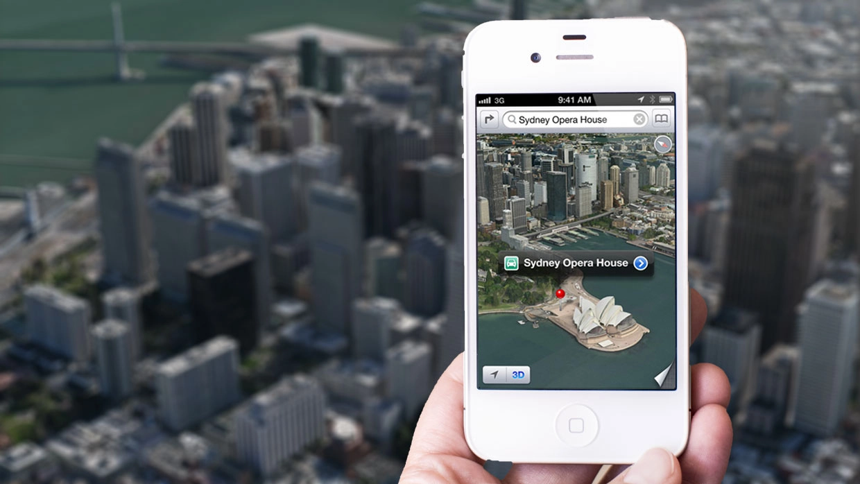
Flyover won't be available in all cities at launch. The exact number of supported cities isn't settled yet, though Apple has shown off San Francisco, Cupertino, Sydney, and a few other places. They're likely still busy improving the quality and quantity ahead of launch.
Here's how Apple introduces Flyover:
See major metro areas from the air with photo-realistic, interactive 3D views. Explore cities in high resolution as you zoom, pan, tilt, and rotate around the city and its landmarks.
Based on what Apple's shown off, here's what we know about Flyover so far:
- Apple (and before the, C3 Technologies), has flown through major metropolitan areas with helicopters and planes

- Using that data, they built 3D models of the cities, including buildings, roadways, and other features

- And incorporated them into the new Maps app on iPhone and iPod touch, and iPad

- The 3D models are available in both Standard and Satellite view, and the Hybrid.

- Though the Satellite view is inarguably the most impressive, and what Apple reserves the Flyover name for.

- Tap an attraction, you can whisked away to it, with Hollywood quality, cinematic camera pans. All the buildings are rendered in realtime, so you can pinch, zoom, and swipe your way around 3D space, and change camera angle just as easily as you do anything else on multi-touch.

Again, Flyover won't make up for anyone who depended on Google Street View for a curb-side look at where they were going, but nor is it meant to. This is a birds-eye view, closer akin to something like Google Earth. Sure, it makes for a great tech-demo, but it also makes for a great way to virtually explore the cities and attractions around us, near and far.
iOS 6 is scheduled for release this fall, perhaps as soon as September 19. For more on iOS 6 and Siri, check out:
- Everything you need to know about iOS 6
- iOS 6 discussion forum